Google Maps works well in Venice for finding a district, landmark, restaurant, or general walking direction, but do not obey every turn as if you were following a road GPS. A blue dot on the wrong side of a canal, an entrance pinned behind a building, or a route that ignores how awkward several stepped bridges are can turn a short walk into a frustrating detour.
The safest way to use Google Maps Venice navigation is to treat the app as a map first and turn-by-turn instructions second. Check which side of the canal you are on, identify the next bridge or campo, and use Venice’s physical signs to confirm the last few turns.
Why the blue dot can be unusually confusing in Venice
Venice has narrow calli, covered passages, closely packed buildings, and parallel pedestrian routes separated by canals. That is a difficult setting for phone positioning. Google itself explains that GPS positioning is not perfectly precise and that buildings can interfere with location accuracy. Its location accuracy guidance recommends paying attention to the uncertainty circle around the blue dot and recalibrating when necessary.
In an ordinary city, being several metres out may simply place you on the opposite pavement. In Venice, the same error can appear to put you:
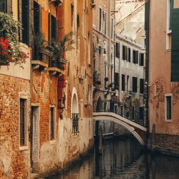
- on the opposite bank of a canal;
- in a parallel calle with no connection to yours;
- past the tiny alley you actually need;
- inside a building or courtyard;
- on the wrong approach to a bridge.
The direction cone can also rotate while you are standing still. That is how travelers end up walking 30 metres one way, watching the screen flip, and walking straight back again.
When the blue dot becomes uncertain, stop in a wider space such as a campo, campiello, bridge landing, or waterfront. Give the phone a moment to settle and compare the canal pattern on the screen with what is physically around you. The canal is often a more reliable orientation clue than the arrow.
Never follow a route across water unless you can identify the bridge
This is the quickest Venice sanity check. Before following the next section of a walking route, look at every canal crossing on the screen. There should be a bridge where the route changes banks.
If the line appears to continue across a canal but there is no bridge in front of you, do not search for a secret passage or assume you need to enter a building. Back up to the previous junction and zoom in. You may be on a parallel alley or the position marker may have snapped to the opposite side of the water.
The same rule helps with dead ends. A fondamenta is a walkway beside a canal, and some end without a pedestrian crossing. A ramo can be a short side branch. A sotoportego or sottoportego is a passage running beneath a building and may look surprisingly unpromising until you reach it. The map can show all of these as thin pedestrian lines, but they feel very different on the ground.
Venice addresses are another source of false confidence
Do not expect house numbers to work like a normal sequence along one street. The historic center is divided into six sestieri, and each sestiere has its own progressive civic numbering system. The City of Venice’s official explanation of Venetian street names and civic numbers also notes that the same street name can occur in different sestieri, or even more than once within one sestiere.
An address such as Cannaregio 1234 is therefore more meaningful than the number alone. A business may additionally list a calle, campo, or fondamenta to make the door easier to find.
For a hotel or apartment, save the actual map pin before arrival and keep the property’s written directions. Even better, ask for:
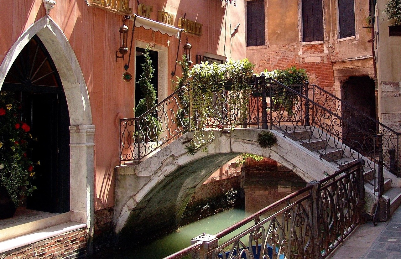
- the nearest vaporetto stop;
- the name of the final calle or campo;
- how many bridges lie between the stop and the entrance;
- a photo or description of the door if reception is difficult to spot.
This matters particularly with self check-in apartments, where the pin for the building and the door you need may not be obvious from the canal side.
Use the yellow and white signs for the big direction
Venice has pedestrian wayfinding signs painted or fixed to buildings. The ones most useful to visitors include:
- Per S. Marco: toward Piazza San Marco;
- Per Rialto: toward Rialto;
- Per Ferrovia: toward Venezia Santa Lucia railway station;
- Per P.le Roma or Piazzale Roma: toward the bus, tram, taxi, and road terminal.
Per simply means “to” or “toward.” These signs do not necessarily give the shortest route to your exact destination. Their strength is that they keep you on established pedestrian connections toward major points in the city.
A useful combination is to follow physical signs for the broad direction and check your phone again when you are within the final few streets. For more on the relationship between walking and water transport, see our guide to getting around Venice.
A ten-minute route is not always an easy ten-minute route
Distance on the screen tells only part of the story. Bridges are the crucial variable, especially with luggage, a stroller, or limited mobility. Most traditional Venetian bridges have steps, and several bridge crossings can make a seemingly short hotel transfer much harder than a slightly longer route involving a vaporetto.
Before walking from Santa Lucia station or Piazzale Roma with suitcases, zoom into the route and count obvious canal crossings. If your accommodation gives you a recommended vaporetto stop, compare that option too.
As a practical rule, choose the route with fewer bridges when carrying heavy bags even if its stated walking distance is somewhat longer. Dragging a suitcase through another 300 metres of flat calle is often preferable to hauling it over several sets of steps.
Ordinary walking directions are not step-free directions
This distinction is essential for wheelchair users and can also matter with walkers, heavy strollers, or anyone who has difficulty with stairs. A route displayed as walkable does not mean that every bridge is accessible.
The municipality publishes an Accessible Venice map showing areas that can be reached using water transport and information about accessible or facilitated bridges. Use that rather than assuming the shortest pedestrian line is suitable.
In Venice, the vaporetto can form part of an accessible route rather than simply being an alternative to walking. You may reach an area by boat specifically to avoid an otherwise unavoidable stepped bridge.
For vaporetti, check the stop and the pier, not just the route line
Google Maps can be useful for comparing public-transport options, and ACTV makes timetable information available to journey-planning services. Once you reach a major stop, however, the physical information at the stop matters.
Large interchanges can have several separate floating platforms, called approdi, identified by letters such as A, B, C, or D. Rialto, Ferrovia, Piazzale Roma, and San Marco are not always a matter of walking to one obvious pontoon and boarding whatever arrives.
Check:
- the exact stop name;
- your line number;
- the destination or direction displayed for that boat;
- the letter of the required approdo where applicable.
ACTV’s stop arrangements can also vary by time or because of service changes. Its official navigation timetable specifically advises passengers to check current service information before traveling. If your phone and the electronic board or ACTV notice at the stop disagree, use the operator’s current information.
High water can make the mathematically correct route useless
During acqua alta, the issue is not whether a pedestrian connection exists on a digital map. It is whether that connection is currently usable.
The city operates designated pedestrian arrangements during the high-water season, including raised passerelle on selected routes when conditions require them. Public water transport may also be modified at particular tide levels.
Check the City of Venice’s Centro Previsioni e Segnalazioni Maree when high water is forecast. Temporary barriers, raised walkways, municipal instructions, and ACTV service notices take precedence over a route drawn on your phone.
Downloaded Google maps do not solve offline walking navigation
This catches travelers who sensibly download Venice before leaving their hotel Wi-Fi. The downloaded map is still useful for seeing streets, canals, saved places, and your general surroundings, but Google’s current offline-map instructions state that walking and public-transport directions are unavailable when you are offline.
Before heading out without reliable data, save more than the map itself. Screenshot the important part of your walking route, save your hotel’s address and nearest vaporetto stop, and note one or two major landmarks that will get you back into the correct area.
A better way to plan each Venice walk
For anything more important than casual wandering, divide the journey into three levels rather than asking one app to solve every turn.
- Choose the correct area. Know the sestiere, island, or major landmark you are heading toward.
- Choose the crossing. Identify which bridge or vaporetto movement gets you to the correct side of the major canal.
- Solve the last few streets. Only then rely closely on the destination pin and final turns.
This approach is particularly useful when linking several sights in one day. You can build your Italy itinerary around sensible geographic clusters, then use your phone for the short connections rather than repeatedly accepting whatever route appears fastest.
What to do when Maps clearly has you in the wrong place
Do not keep walking just because the remaining distance is getting smaller. Use this reset:
- Stop. Walking while the phone is trying to determine your direction makes the problem harder to diagnose.
- Find the canal. Confirm which bank you are physically standing on.
- Find a name. Look for a nizioleto, the distinctive Venetian street-name panel, or the name of the campo, bridge, church, vaporetto stop, or nearby business.
- Recenter the map. If the blue uncertainty circle is large or the direction beam looks wrong, recalibrate and wait for a better fix.
- Return to the last certain junction. A known bridge or campo is much more useful than pushing deeper into a network of tiny calli hoping the route will correct itself.
If you are close to a hotel, restaurant, or attraction but cannot locate the entrance, stop searching by house number alone. Ask using the place name and show the pin. Staff at another hotel, shop, bar, or vaporetto ticket point can usually understand a nearby landmark more readily than an isolated civic number.
When to trust the phone and when to trust Venice
Trust the map for the overall shape of the city, distances, saved places, and identifying the neighborhood you need. Be more skeptical when the blue dot is jumping between parallel streets, the route appears to cross water without an obvious bridge, or the supposedly convenient walk involves luggage or accessibility requirements.
For public boats, temporary service changes, high water, and accessible routes, use the relevant official information. For the final hundred metres, read the street signs, look at the canals and bridges, and confirm the actual doorway. In Venice, those physical clues are not a backup navigation system. They are part of the navigation system.